At the mouth of the Ohio, the captains practice making celestial observations and measuring the rivers’ widths. Lewis fails to complete his observations due to afternoon clouds, but Clark finds the width of the Ohio is 1.1 miles and the Mississippi is ¾ of a mile.
Clark’s River Widths
Capt Clark made a partial survey of the point and asscertained by the Circumferenter and projection that the width of the Ohio from[:]
Yards The point was— 1274 The Missippi— 1435 and the width of them both from those observed points on their respective banks was— 2002 —Meriwether Lewis
Surveyor’s Compass (Circumferentor)
Davis Rittenhouse, Philadelphia, 1782
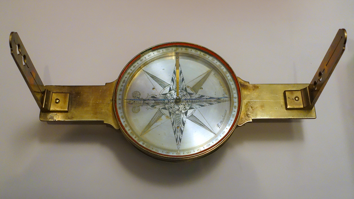
By WikiCommons user Daderot, 27 March 2015. Permission to use granted under the Creative Commons CC0 1.0 Universal Public Domain Dedication license.
Lewis’s Equal Altitudes
Novr. 15th took equal altitudes A. M. 8 59 6— lost the afternon from clouds which interveened and prevented them
—Meriwether Lewis
Lewis had previously attempted to determine longitude from Equal Altitudes at Fort Massac. For a description of the process, see November 12, 1803.
Experience the Lewis and Clark Trail
The Lewis and Clark Trail Experience—our sister site at lewisandclark.travel—connects the world to people and places on the Lewis and Clark Trail.
Plan a trip related to November 15, 1803: