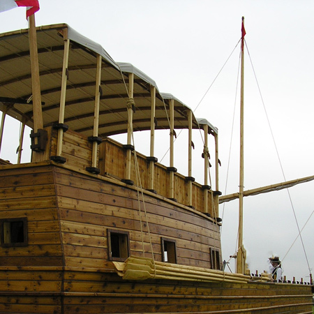
At Wood River, ice flowing down the Missouri and Mississippi rivers continues to change water levels making it difficult to keep the barge upright. Clark works on a map with information gathered from traders, and Lewis continues working in Cahokia and St. Louis.
Boat Trouble
the boat give me much trouble, [as?] the banks are Continuly Slipping in on each Side which looses the pries, up last night and frequent thro the rain to day attending the boat
—William Clark
Clark’s New Map
I drew a map for the purpose of Correcting from the information which I may get of the Countrey to the N W
—William Clark
Weather Diary
Therm. at rise
weather wind Therm. at 4 oClock weather wind River hail S W cloudy & rain S W the River a Dubois rise a little
—Meriwether Lewis and William Clark[1]To assist the reader, the editor of this web page has omitted the date column, merged the “River” columns, and spelled out some abbreviations.
Experience the Lewis and Clark Trail
The Lewis and Clark Trail Experience—our sister site at lewisandclark.travel—connects the world to people and places on the Lewis and Clark Trail.
Plan a trip related to January 7, 1804:

Winter Camp at Wood River (Camp Dubois) is a High Potential Historic Site along the Lewis and Clark National Historic Trail managed by the U.S. National Park Service. The site, near Hartford, Illinois, is managed as Lewis and Clark State Historic Site and is open to the public.
Notes
| ↑1 | To assist the reader, the editor of this web page has omitted the date column, merged the “River” columns, and spelled out some abbreviations. |
|---|


