Henry Warre (c. 1860)
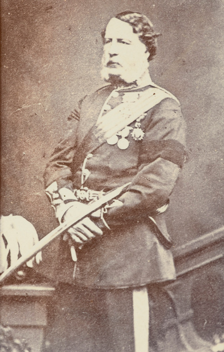
Unknown photographer, William Francis Gordon, copyist. From Te Papa Museum of New Zealand. Image is in the public domain.
As a defensive measure in a possible war with America at the end of 1844, Sir George Simpson suggested a military reconnaissance of the Oregon Territory. Lt. Henry Warre (1819–1898) and Lt. Vavasour were selected, and the two officers traveled from Montreal to Fort Vancouver on a “sporting expedition” led by Peter Skene Ogden. As part of his secretive instructions, Warre made sketches documenting indigenous people and landscapes similar to Lewis and Clark would have witnessed during their expedition in the years 1805–1806.[1]Henry Warre, Sketches in North America and the Oregon Territory (Barre, Massachusetts: Imprint Society, 1970), 7–8).
This often over-looked artist has given us historic details not found with more popular illustrators such as Paul Kane (1810–1871). In the 1840s, Henry Warre sketched Mt. Coffin—a traditional burial site situated near the Columbia River Shore—and Mt. St. Helens (see below). Both these landmarks have since changed significantly. Mt. Coffin was entirely removed during the development of Longview, Washington and the conic top of Mt. St. Helens disappeared during its eruption in 1980. At Fort George—present Astoria, Oregon, he sketched the exterior of a Chinookan-style lodge with Tongue Point in the background—a rare glimpse of these lodges as described in the expedition journals. One of his most popular paintings is at the mouth of the Columbia River. His ship is framed by Cape Disappointment with Saddle Mountain in the distance.
Mt. Coffin & Mt. St. Helens ([Volcano])
Columbia River
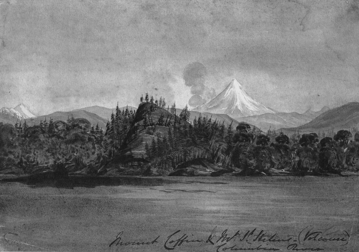
From an original sketchbook owned by the American Antiquarian Society in Sketches in North America and the Oregon Territory (Imprint Society: Barre, Massachusetts, 1970), plate 35.
Pages with the Artist’s Works
November 28, 1805
"O! how Tremendious"
by Kristopher K. Townsend
On the small isthmus of present Tongue Point, the party has no way to keep dry, the hunters have no success, and in the afternoon a “Tremendious” windstorm arrives. Clark calls it a disagreeable situation.
Synopsis Part 4
Lemhi Valley to Fort Clatsop
by Harry W. Fritz
After trading for horses with Sacagawea’s people, the expedition turned north and then west, on what would indisputably be the most exhausting and debilitating segment of the entire journey, the passage across the Bitterroot Mountains.
The Empty Anchorage
No trade ships at the Columbia
by Arlen J. Large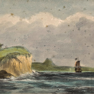
“the Ocian is imedeately in front and gives us an extensive view of it from Cape disapointment to Point addams,” reported William Clark on 15 November 1805. But he saw no ships at anchor. Nothing.
David Thompson
A convergence with Lewis, Clark, and Jefferson
by Jack Nisbet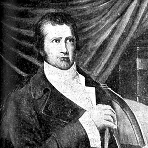
The life and times of these three explorers intertwined in a number of odd and interesting ways, often brought together by far-reaching hand of Thomas Jefferson. Tracing these connections opens a window onto every conceivable aspect of the period.
Notes
| ↑1 | Henry Warre, Sketches in North America and the Oregon Territory (Barre, Massachusetts: Imprint Society, 1970), 7–8). |
|---|
Experience the Lewis and Clark Trail
The Lewis and Clark Trail Experience—our sister site at lewisandclark.travel—connects the world to people and places on the Lewis and Clark Trail.
Discover More
- The Lewis and Clark Expedition: Day by Day by Gary E. Moulton (University of Nebraska Press, 2018). The story in prose, 14 May 1804–23 September 1806.
- The Lewis and Clark Journals: An American Epic of Discovery (abridged) by Gary E. Moulton (University of Nebraska Press, 2003). Selected journal excerpts, 14 May 1804–23 September 1806.
- The Lewis and Clark Journals. by Gary E. Moulton (University of Nebraska Press, 1983–2001). The complete story in 13 volumes.
This site is provided as a public service by the
Lewis and Clark Trail Alliance
with additional funding from the following: